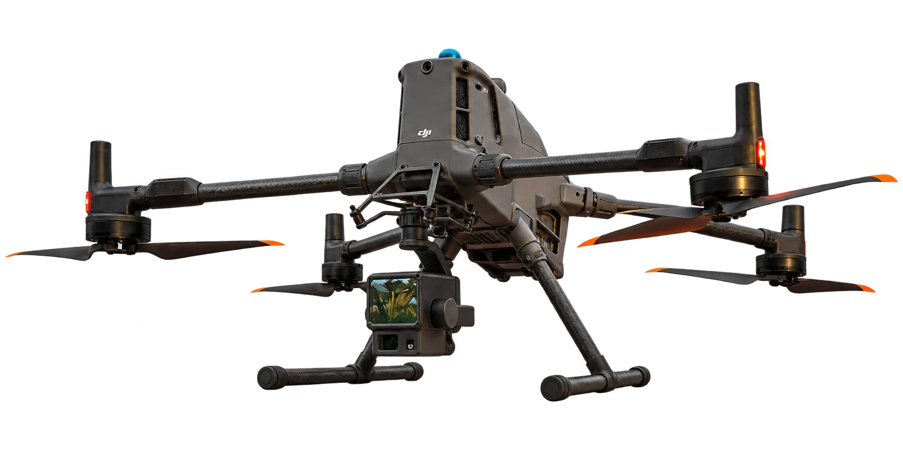
High-resolution drone LiDAR
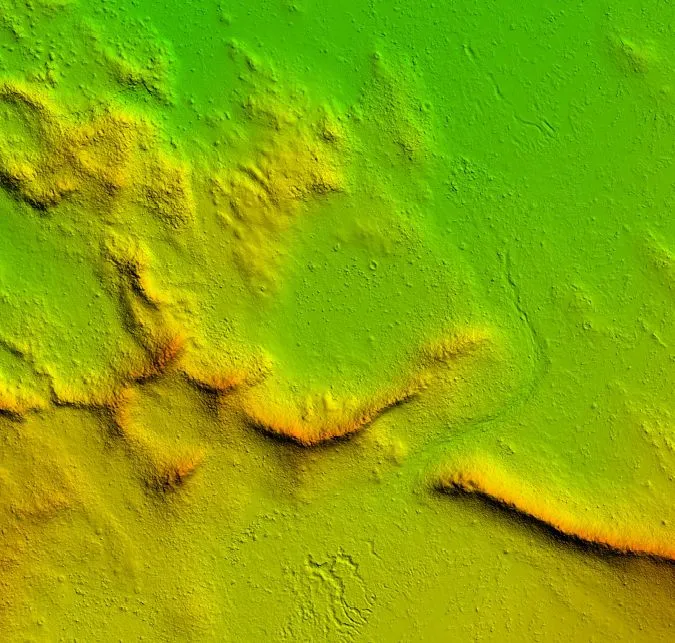
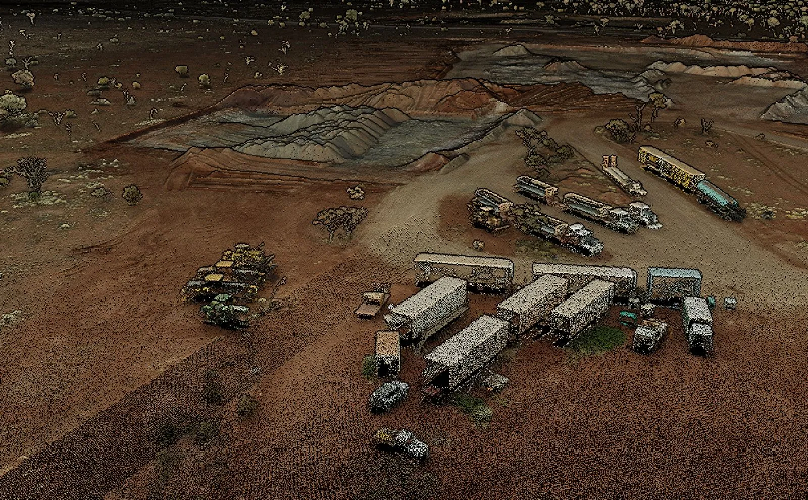
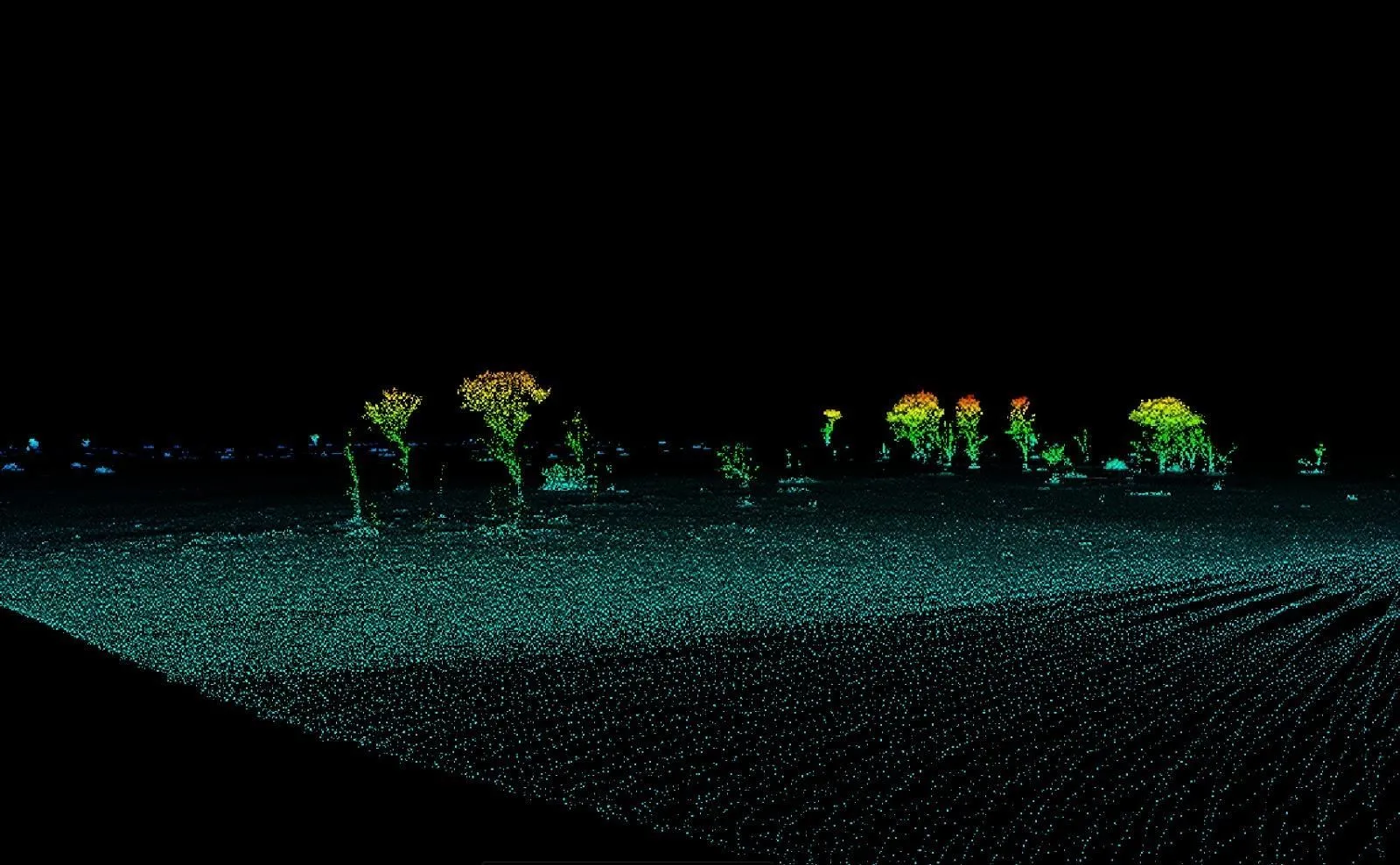
High-resolution terrain mapping and dense canopy penetration. Digital elevation models (DEMs) that expose hidden faults, structural trends and surface anomalies.
LiDAR, magnetics and imagery for exploration and mining, exposing structure, faults and anomalies that aid geological decision-making.
Sharper visibility of geological features: less time spent getting to a decision.
Two sensors providing unmatched visibility, flown together, delivered together.

High-resolution terrain mapping and dense canopy penetration. Digital elevation models (DEMs) that expose hidden faults, structural trends and surface anomalies.
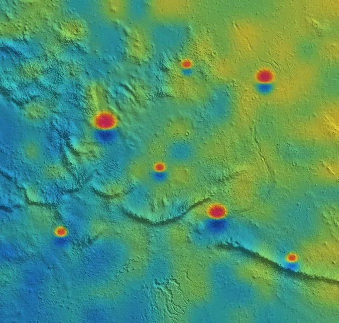
Ultra-low-altitude, high-sensitivity magnetic data for mineral exploration and subsurface anomaly detection — higher resolution and lower cost than crewed aircraft.
LiDAR and Magnetics merge with cm-level accuracy.
Processed, checked and delivered ready for your geologists, engineers and planners.


Where our data de-risks decisions across the project lifecycle.
Structure and magnetic anomalies that sharpen drill targets.
Faults, structure and drainage revealed in bare-earth terrain.
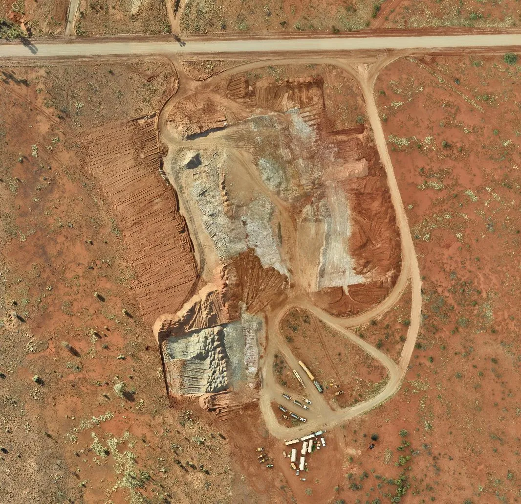
High-resolution baselines for rehabilitation, heritage and clearing approvals.
Optimise infrastructure planning on accurate terrain.