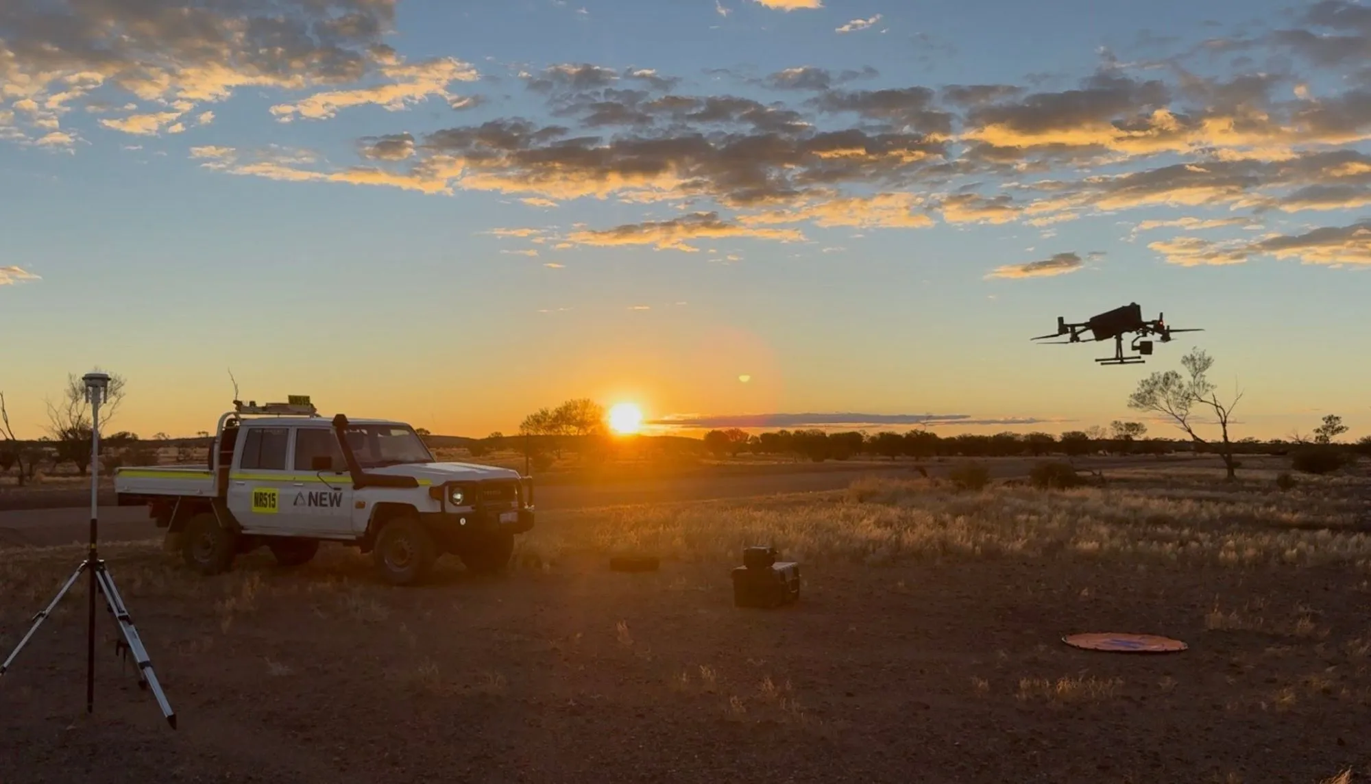
Unexploded ordnance detection
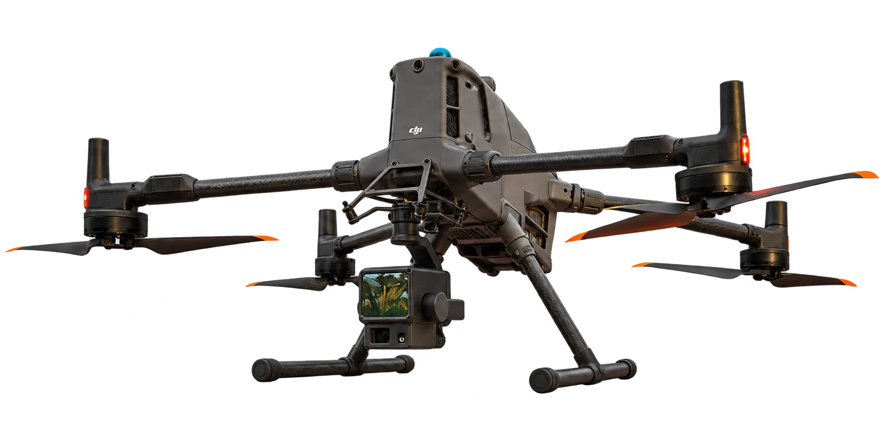
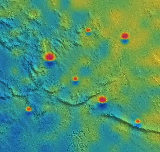
Specialised drone magnetic workflows to identify unexploded ordnance and surface or subsurface metallic hazards — mapped from the air before anyone sets foot on the ground.
Drone-based magnetics and LiDAR for unexploded ordnance (UXO) detection, route and range clearance, and tactical terrain analysis.
Actionable intelligence on terrain and hazards, gathered from the air. Protecting people, wildlife and the environment.
Three capabilities for Defence, each designed around keeping people off unsafe ground.
Specialised drone magnetic workflows to identify unexploded ordnance and surface or subsurface metallic hazards — mapped from the air before anyone sets foot on the ground.
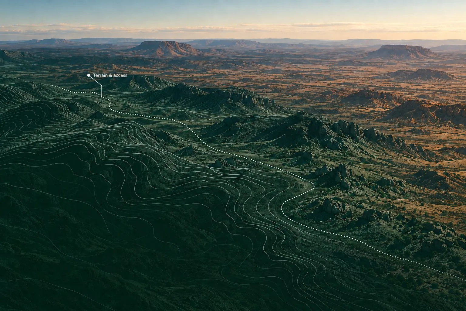
Detection data and terrain models that support range clearance and route planning — safer access, confirmed from above.
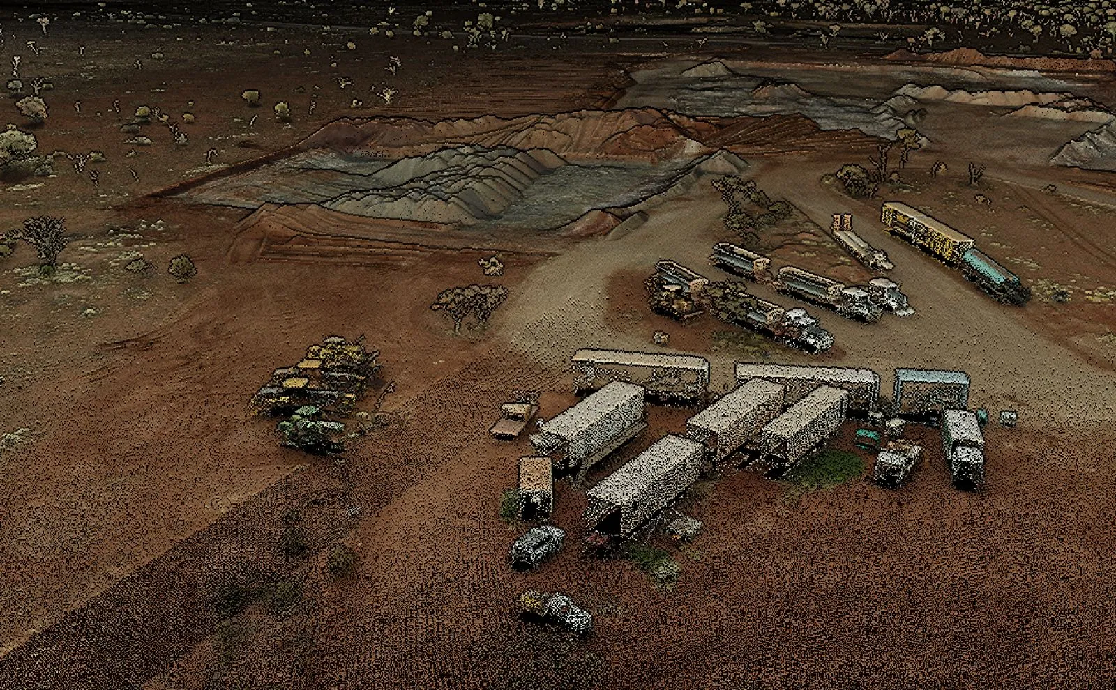
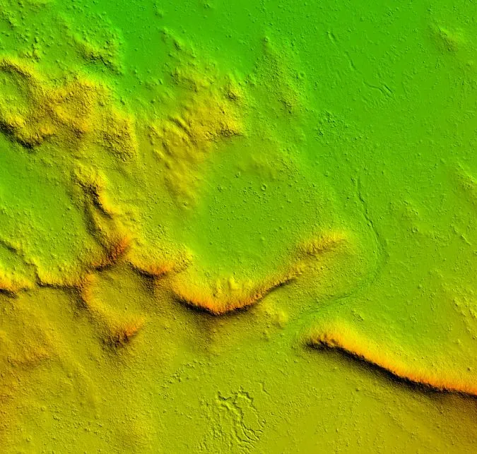
High-resolution LiDAR and digital elevation models for tactical route planning and infrastructure.
Our team brings imagery intelligence, UAV operations and a national security and cyber security mindset to how every job is planned, flown and handed over.
Plans that flex with terrain, weather and shifting priorities without losing sight of the objective.
Self-sufficient crews and kit, ready for remote and harsh environments with minimal support.
Planning, briefing and execution habits carried over from service life, on every mission.